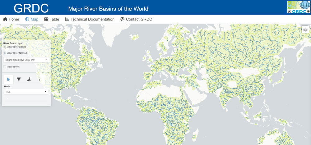
Major River Basins of the World (MRB) is an ongoing GIS project of the Global Runoff Data Centre (GRDC). It is provided for public use under the condition of full citation and reference to incorporated data from the HydroSHEDS database. This is the 2nd, revised edition 2020 and replaces the basin polygons and river lines of the edition 2007 (GRDC 2007).
The “Major River Basins” and “Major River Networks” layers represent 520 river/lake basins considered “major” in basin size, or in their hydro-political importance or interest. Referring a hydrological determination of a drainage basin by a common outlet to which all waters flow (aka pour point in GIS), Major River Basins may be basins with exorheic drainage, wherein all waters flow to a common outlet, ultimately into an ocean, but also basins with endorheic drainage, where all waters are collected in sinks or lakes not connected to other basins or the ocean. Core reference for assignment to an ocean is “Limits of Oceans and Seas” (IHO, 1953).
The “Major River Basins” and “Major River Networks” layers may be used in many ways for example for visualization of basins or river networks in reports, or overlay with other GIS layers such as of groundwater basins or national borders, or for basin-related interpretations of model results.
Acknowledgements:
This product “Major River Basins of the World” incorporates data from the HydroSHEDS database which is © World Wildlife Fund, Inc. (2006-2013) and has been used herein under license. WWF has not evaluated the data as altered and incorporated within “Major River Basins of the World”, and therefore gives no warranty regarding its accuracy, completeness, currency or suitability for any particular purpose. Portions of the HydroSHEDS database incorporate data which are the intellectual property rights of © USGS (2006-2008), NASA (2000-2005), ESRI (1992-1998), CIAT (2004-2006), UNEP-WCMC (1993), WWF (2004), Commonwealth of Australia (2007), and Her Royal Majesty and the British Crown and are used under license. The HydroSHEDS database and more information are available at http://www.hydrosheds.org.
Recommended citation:
GRDC (2020): GRDC Major River Basins. Global Runoff Data Centre. 2nd, rev. ed. Koblenz: Federal Institute of Hydrology (BfG).
Back to top