A thorough understanding how water moves through Earth’s rivers is important to manage water resources and mitigate water‐related disasters. As ground based observational data (such as discharge data from GRDC) is limited and further constrained by political boundaries, remote sensing via satellite is an indispensable tool. However, specific capabilities such as the type, frequency and scale of observation, the spatial resolution, and the measurement accuracy needed to capture river dynamics remain uncertain. In addition, satellite data must of course continue to be calibrated and validated using in situ data.
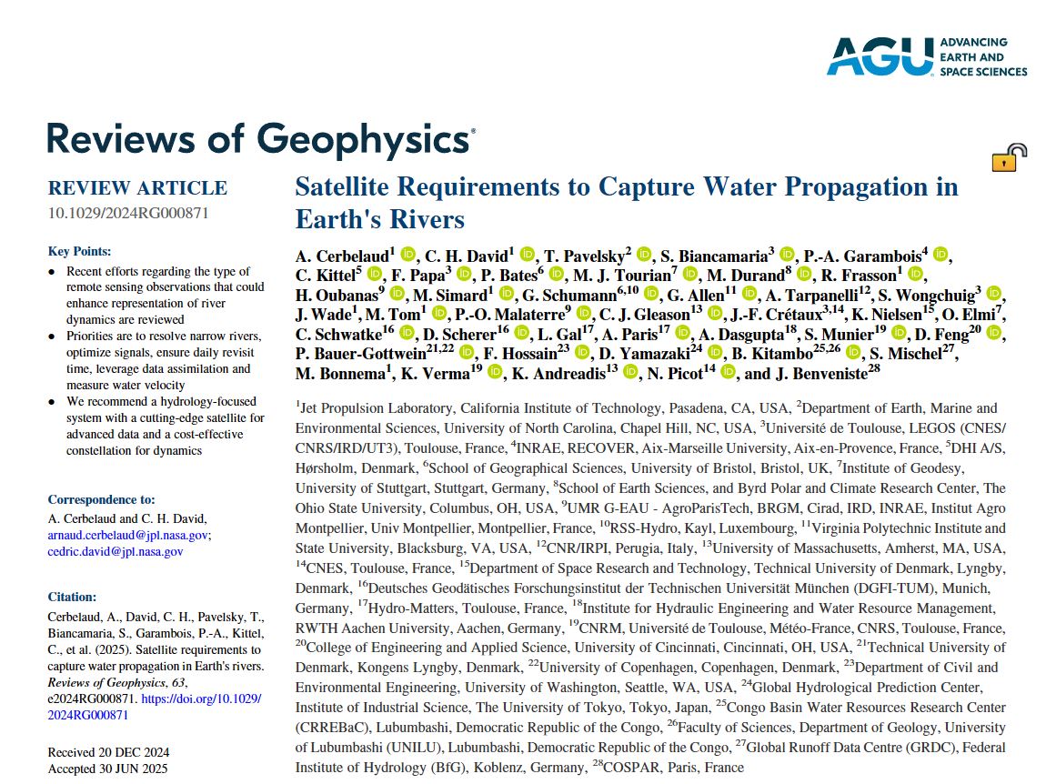
In a new study published in the journal Reviews of Geophysics, an international team of scientists highlights recent advances in the use of remote sensing to study the propagation of water in rivers. Key priorities identified by the study, to which Simon MIschel from GRDC participated as co-author, include the resolution of narrow rivers (finer than 50–100 m in width), to gain a better knowledge of required measurement accuracy relative to hydrologic variability, to achieve frequent observations (1–3 days), and to leverage more data assimilation and multi‐satellite approaches. Innovative satellite technologies are also needed to measure variables critical for estimating water flux and discharge such as water velocity.
To address these challenges, the recommended approach involves a dual observing system with (a) a cutting‐edge satellite mission for advanced surface water measurements and (b) a constellation of cost‐effective satellites to monitor dynamic river processes. This combination has the potential to transform the monitoring and modeling of water propagation in rivers, providing the tools necessary to improve water management and disaster response on a global scale.
Citation:
Cerbelaud, A., David, C. H., Pavelsky, T., Biancamaria, S., Garambois, P.-A., Kittel, C., et al. (2025). Satellite requirements to capture water propagation in Earth’s rivers. Reviews of Geophysics, 63, e2024RG000871. https://doi.org/10.1029/2024RG000871
Links:
Back to top
