Data Portal Guide
GRDC Data Portal Guide
Download quality-controlled in situ discharge data from the global scale

Introduction
The GRDC Data Portal provides a convenient way to visualise and download available runoff stations and time series data.
In addition, users can access long-term statistics and download subregion and watershed boundaries of GRDC stations.


Download by Subregion
The tab “Download by Subregion” allows to select all gauging stations in a catchment. This can be done directly on the map, in table view or by choosing tiles from a catalogue.
You can switch between the corresponding views using the buttons at the top left.
Alternatively, you can also use the search bar at the top right to search for a specific catchment.

To download the time series data from the subregion(s) of interest, click on the corresponding catchments. The download button that appears will take you to the contact form.

Download by Station
If you are interested in data from specific stations, choose the tab “Download by Station”. Here you can also switch between map and table view.
The selection is extended by a filter menu on the left-hand side. There you can search for specific stations or water bodies and restrict your selection to certain regions, countries and time periods.
If you are interested to visualise the time series data before download, click on the relevant station on the map..

…or click on the “Open Station Information” icon in table view.

In the opening window, discharge is visualised as daily and monthly time series including metadata and statistics.
To download the data, close the window and go back to map or table view.
In map view, select the stations for which you want to download data with the rectangle or polygon tool on the upper right hand side. The download button that appears will take you to the contact form.
In table view, place a check mark in front of the corresponding station(s). The download button that appears will take you to the contact form.
Download by GRDC Station Catalogue
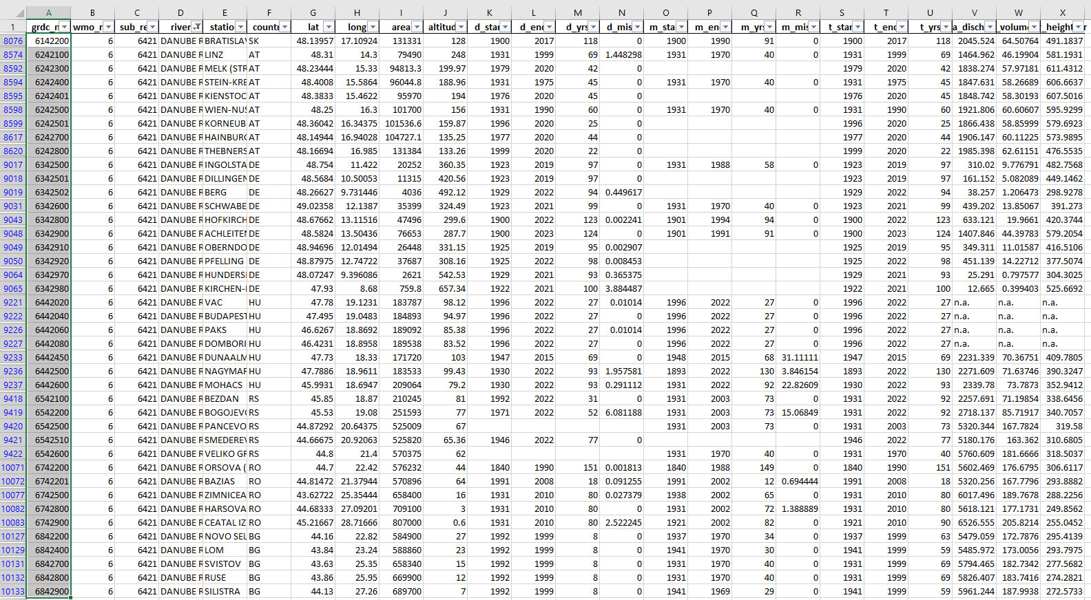
If you want to make a selection according to other criteria or are looking for data from specific projects, choose the “Download by GRDC Station Catalogue” tab. Here you can download the GRDC Station Catalogue or special project-related subsets as MS-Excel spreadsheet, from which individual GRDC stations can be selected.


Download the respective catalogue and copy the GRDC station name(s) or number(s) from the Excel file…
…go back to the “Download by Station” tab of the GRDC Data Portal and paste the respective GRDC station name(s) or number(s) into field “Station Name or Number” of the filter menu.
Wait until the stations are displayed, this could take a moment. Subsequently the data can be selected and downloaded as explained above.

Data Request Form
According to the GRDC Data Policy, download is only allowed for non-commercial use. Therefore, users need to provide contact information and details for the requested download.
In the download form, enter the required information and choose the respective export format. You can also choose to download Sub Region Boundaries or Watershed Boundaries for your GRDC station(s) of interest in GeoJSON format.
After submission of your data request, you will receive a confirmation and a request ID. A download link will be sent within 24 hours to the email address you entered. Due to technical reasons, it may take a few minutes after receiving the download link before data is available on the server.
If you are facing difficulties in accessing the data, or how to download multiple stations at once, please have a look at our FAQs, the Navigation guide for GRDC data portal or contact GRDC directly at grdc@bafg.de. Please mention the request ID when making any inquiries about your download.

